MOBILE LABORATORY

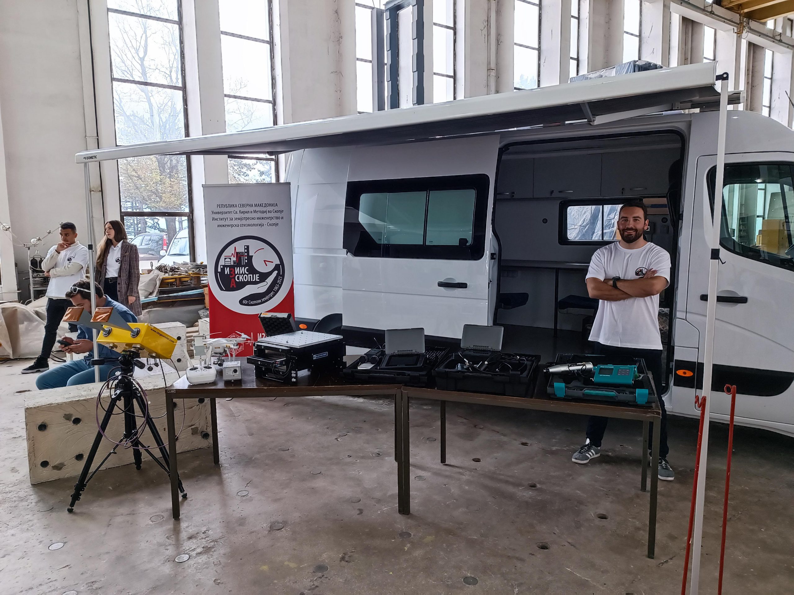
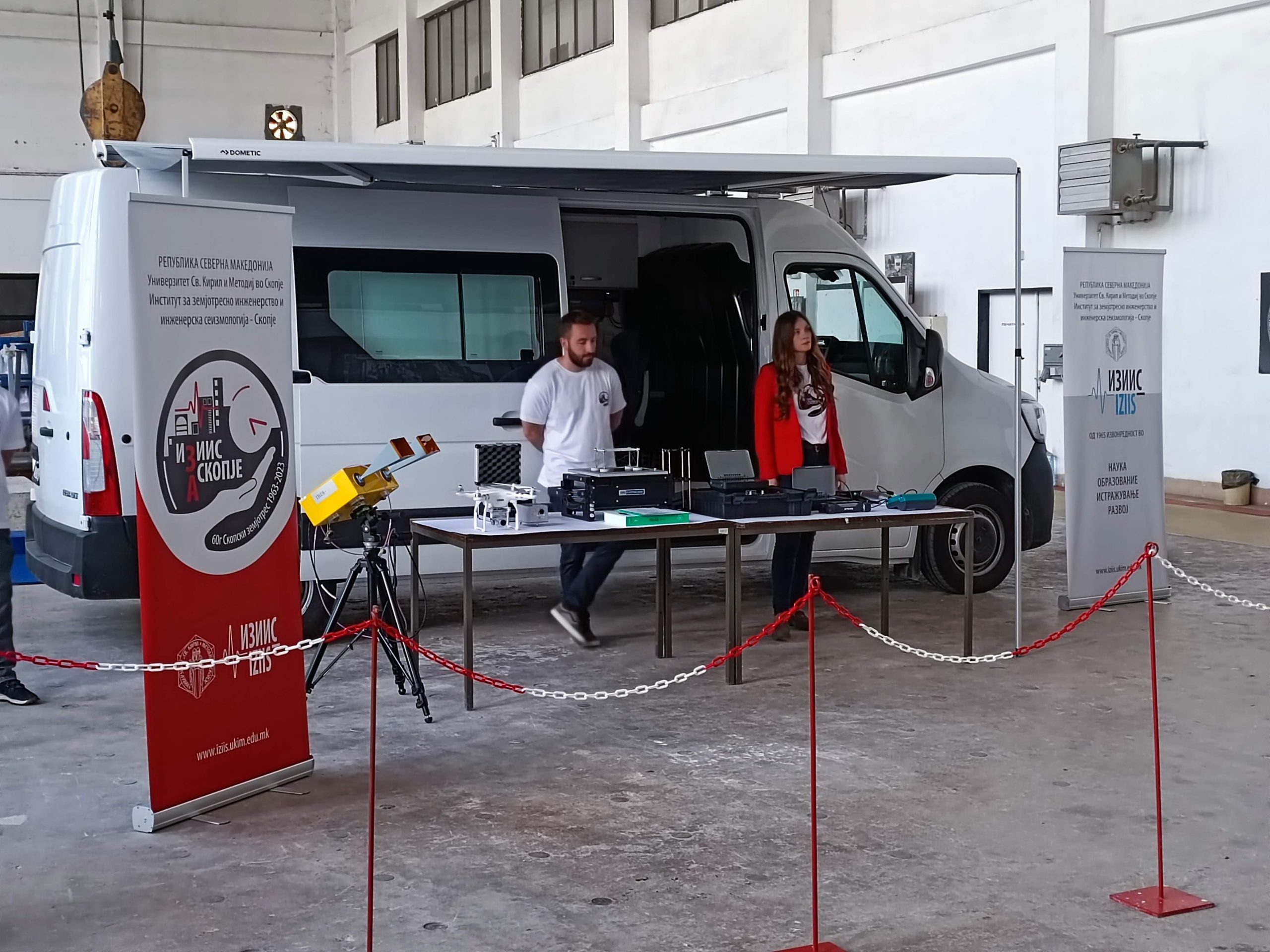
The primary activities of the integrated mobile laboratory (EQ-MOBI-LAB) for field research and damage assessment from earthquakes and other events include:

  • Urgent, near real-time non-destructive testing (NDT): monitoring, diagnosing, assessing conditions, and defining emergency protection measures for structures, infrastructure, critical systems, soil constructions, and other systems exposed to:
    • Natural disasters: earthquakes, landslides, terrain collapses, floods, and others;
    • Technical accidents and disasters: explosions, fires, consequences of poor construction quality or inadequate operational regimes, material fatigue, aging structures, infrastructure, and others;
    • Warfare: as a result of airstrikes, artillery attacks, unexploded ordnance explosions, and others;
    • Threats: terrorism, sabotage, and more;
  • Regular monitoring and diagnostics of structures, critical, and other infrastructure systems for their maintenance, upgrading/expansion, reactivation, capacity enhancement, and more;
  • Quality and defectology of construction materials;
  • Environmental protection;
  • Qualitative and quantitative analysis of phenomena related to the static and dynamic behavior of soil masses, deposits, structures (embankments, cuttings, excavations, fill dams, etc.), and their transformation into hazards for populations and created assets;
  • Transfer and development of methodologies, techniques, technologies, and procedures for NDT monitoring, diagnostics of structures, vital infrastructure, and critical systems; qualitative and quantitative analysis, and defectology of soil structures and natural systems.

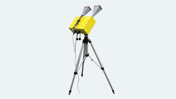
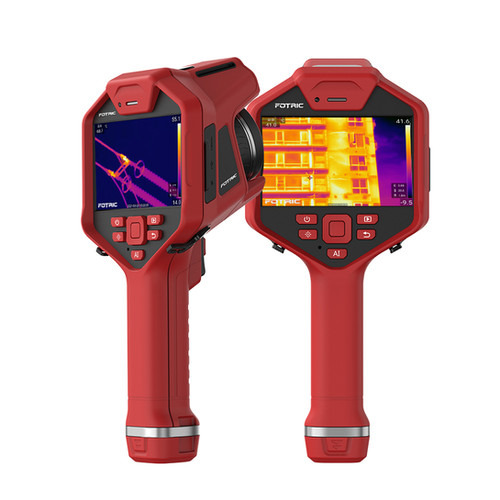
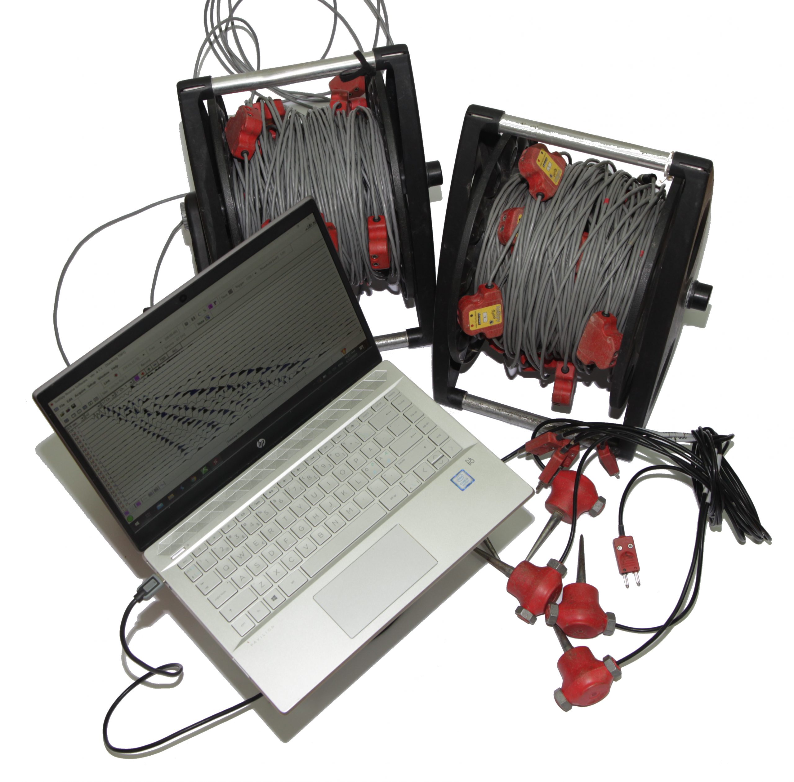
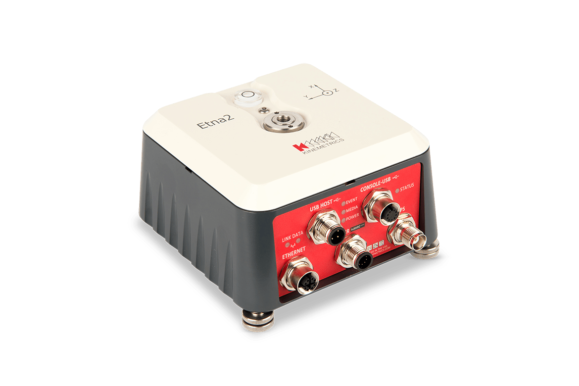
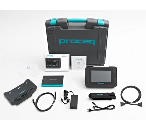
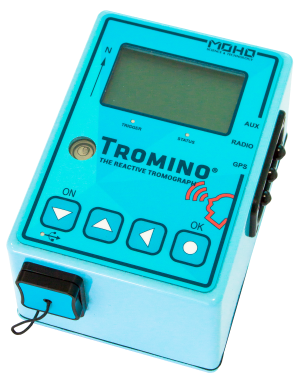
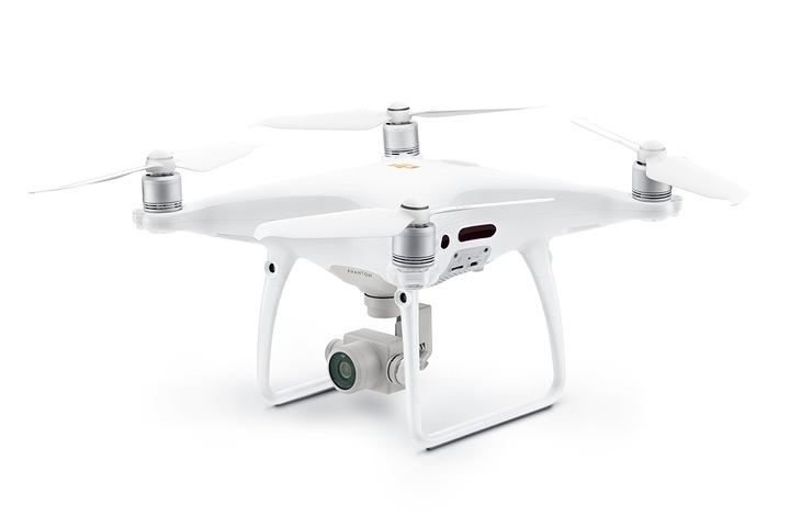
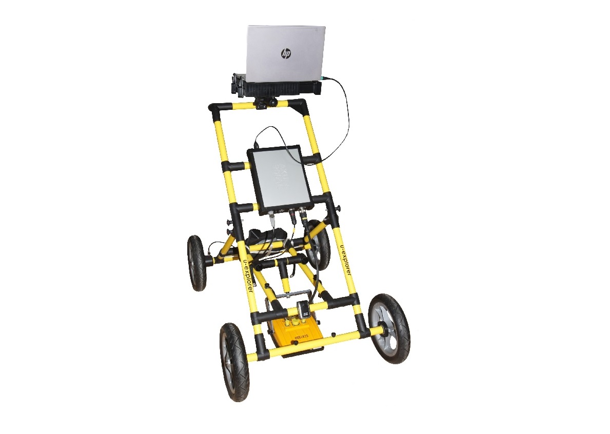
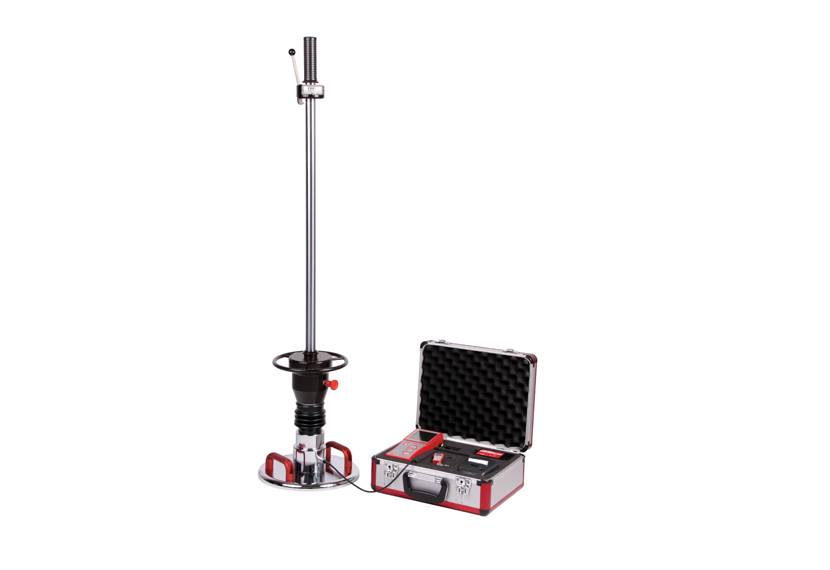
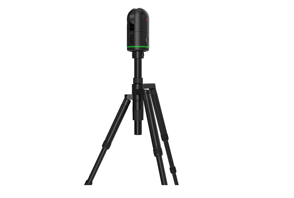
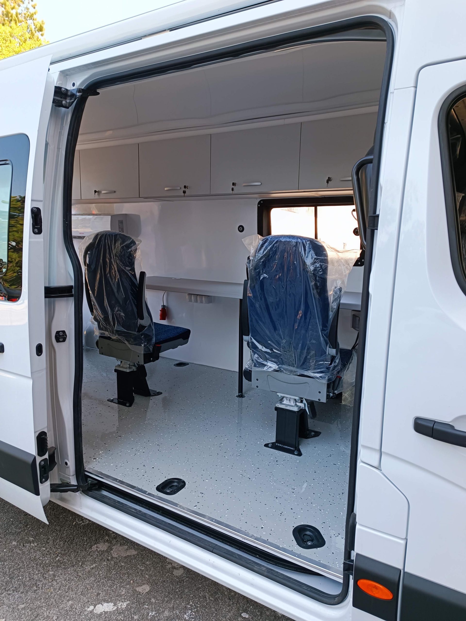
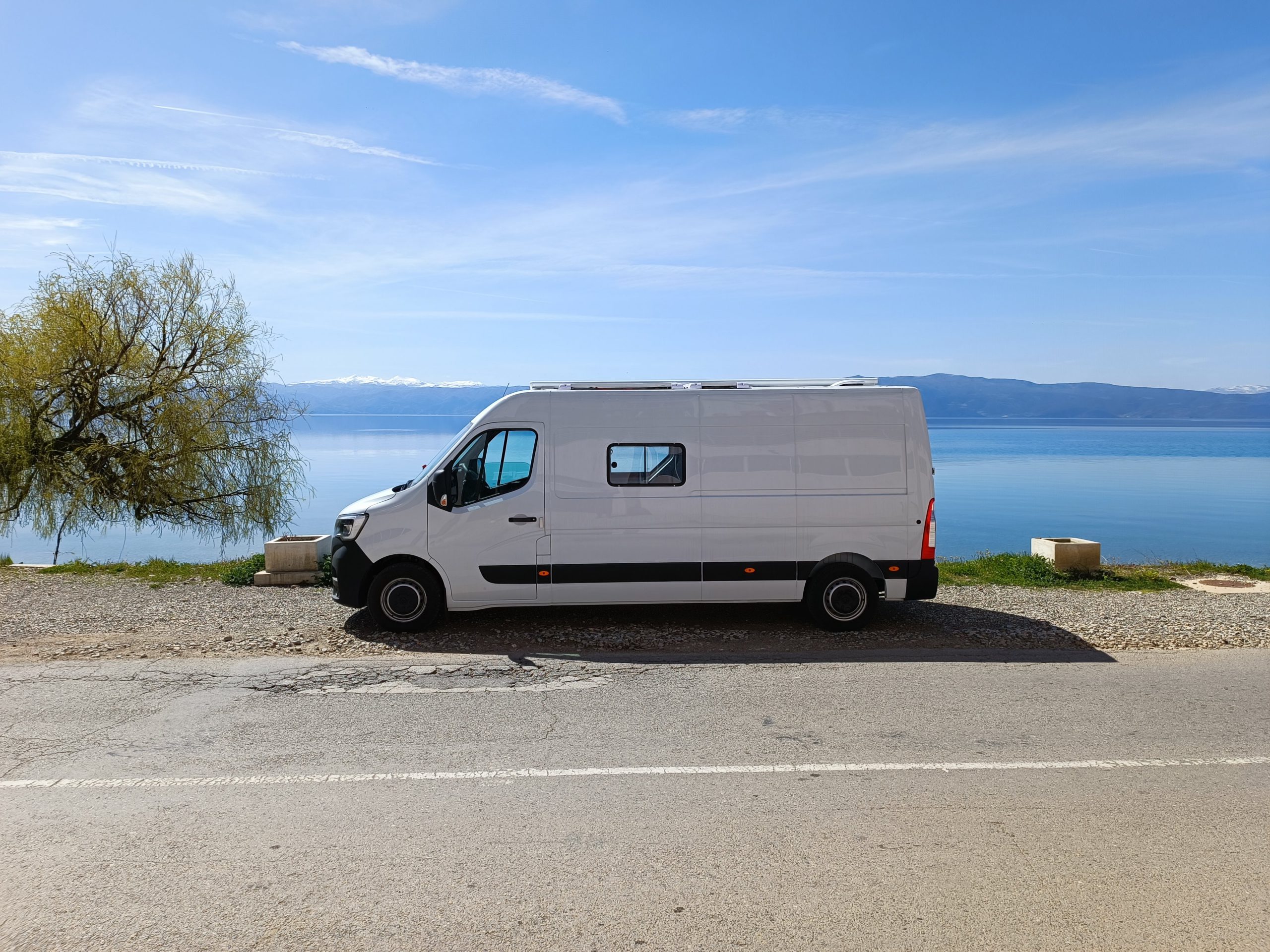
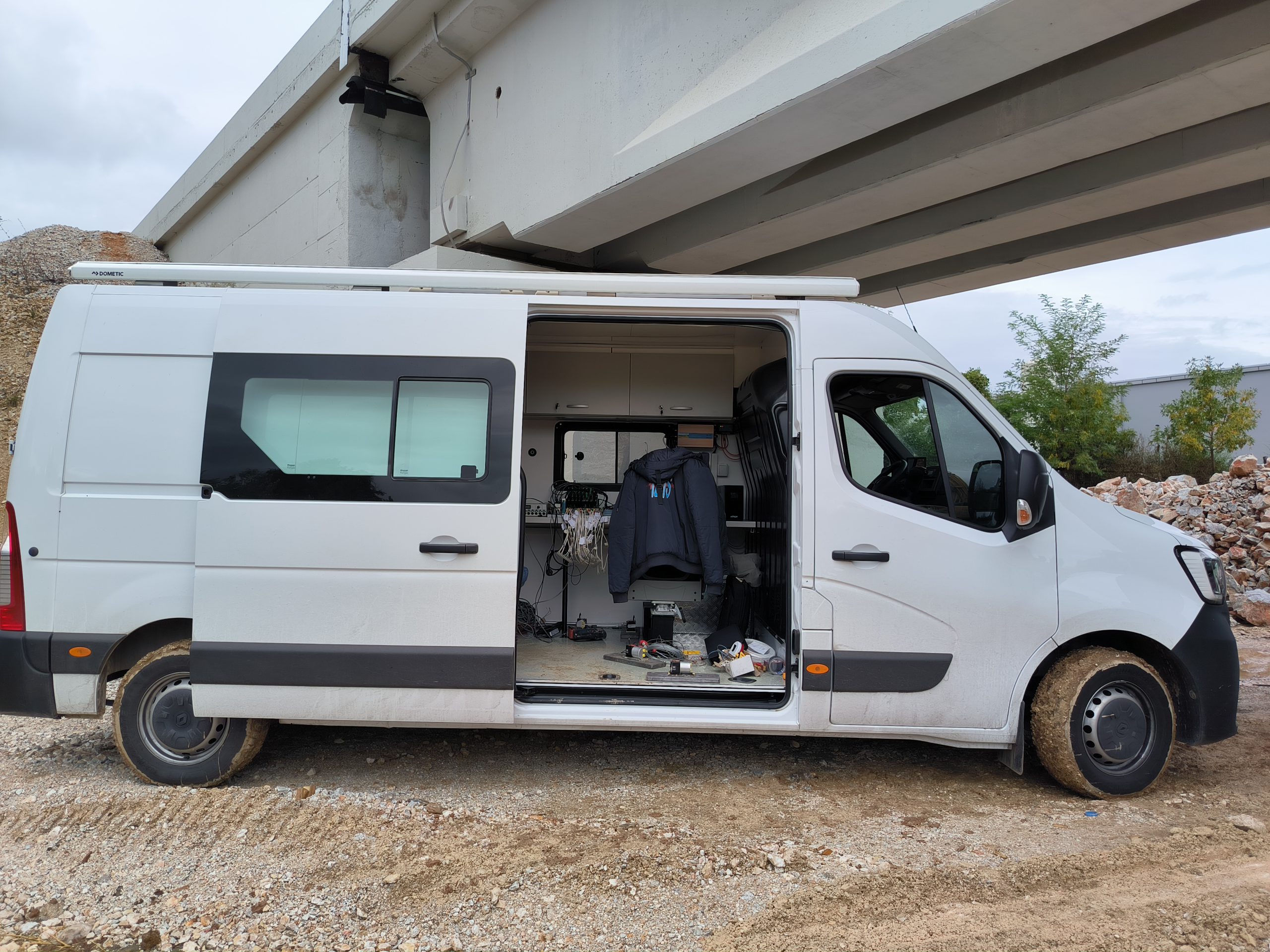
The mobile laboratory is equipped with the following equipment:


Specifications:

  • 3-axis EpiSensor force balance accelerometers mounted orthogonally
  • Measurement range (user-selectable): ±1g, ±2g, or ±4g
  • Frequency range: DC to 200Hz
  • Dynamic range: 155+ dB
  • 24-bit analog-to-digital conversion
  • Built-in GPS/GNSS
  • Capability for recording and monitoring data at various sampling rates (1, 10, 20, 50, 100, 200, 250, 500 sps)
  • Support for various telemetry protocols: ORB, Earthworm, SeedLink…
  • Automatic data transfer to a USB flash drive
  • Wireless communication via mobile network modem


Datasheet (pdf)

Specifications:

  • Frequency range: 0 – 200 Hz
  • Required force (50% duty cycle – 10 minutes):
    • DC to 0.1 Hz: 314 N (peak)
    • Above 0.1 Hz: 445 N (peak)
    • Above 30 Hz: as per Figure 2.1
  • Required force (continuous operation):
    • DC to 0.1 Hz: 212 N (peak)
    • Above 0.1 Hz: 300 N (peak)
    • Above 30 Hz: as per Figure 2.1
  • Maximum displacement: 158 mm pk-pk
  • Velocity: 1000 mm/s
  • Exciter mass (total): 73 kg
  • Operating and storage (transport) conditions:
    • Operating temperature: 5–40 °C
    • Storage temperature (transport): -45 to 85 °C
    • Air humidity: 80% RH max

Datasheet(pdf)

Specifications:

Accelerometer PCB 393B12 (x 8):

  • Sensitivity: (±10%) 10000 mV/g (1019.4 mV/(m/s²))
  • Resolution: 0.000008 g rms (0.00008 m/s² rms)
  • Measurement range: 0.5 g pk (4.9 m/s² pk)
  • Frequency range: (±5%) 0.15 to 1000 Hz
  • Connector: 2-Pin MIL-C-5015
  • Weight: 7.4 oz (210 g)

Signal Acquisition Card NI-9252:

  • Measurement range: ±10 V
  • Maximum sampling rate: 50 kS/s/ch
  • Number of channels per card: 8
  • AD conversion resolution: 24-bit

Signal Conditioner Device PCB 4 CHANNEL SIGNAL CONDITIONER 482C05:

  • Number of measurement channels: 4
  • Sensor type: ICP
  • Output signal range: ±10 V
  • Manual Antenna Cart:
    • Models: GCB-2000 and GCB-1000
  • Vehicle-Mounted Antenna:
    • Model: HA-1000
  • Mounting Holders:
    • For vehicle-mounted antennas
  • Wheel Encoder:
    • For automotive use
  • Rapid 3D Reconstruction
  • Significant cost and processing time reduction
  • Compatibility with most commercial drones, no specialized equipment required
  • No need for special training
  • Integration with CAD and BIM software
  • Processing results on a standard office computer, without additional virtual platforms
  • Surface and volumetric analyses
  • Input and output in formats compatible with other spatial products